How India, Pakistan and Bangladesh were formed
This animated map shows how the borders of the Indian subcontinent have evolved since partition.
Published On 14 Aug 2019
In August 1947, the British decided to end their 200-year long rule in the Indian subcontinent and to divide it into two separate nations, Muslim-majority Pakistan and Hindu-majority India.
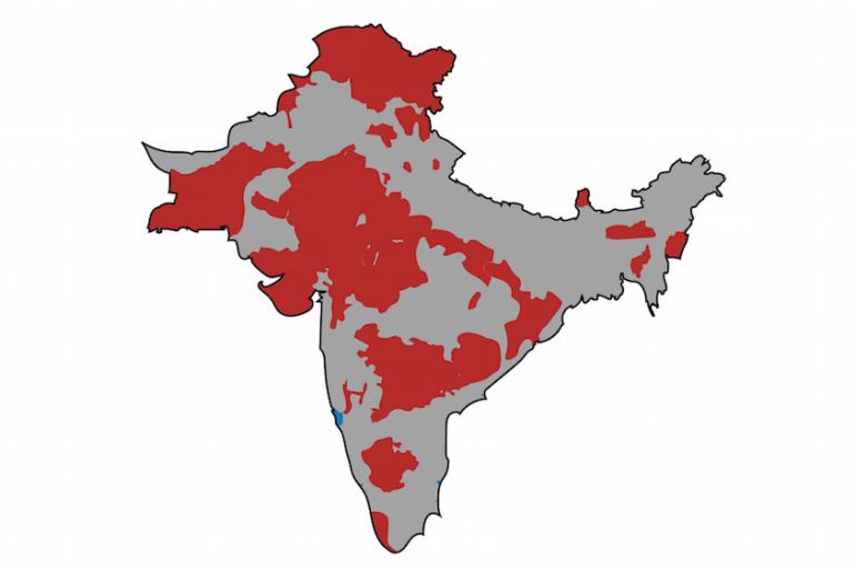
The process of partition, however, was not simple. In addition to the British-controlled territories, the subcontinent also consisted of many other territories under French, Portuguese or Omani rule, as well as more than 500 sovereign princely states ruled by local monarchs.
Keep reading
list of 4 itemsMapping Israel-Lebanon cross-border attacks
Eid Mubarak: Hear greetings in different languages
When is Eid al-Fitr 2024 and how is it celebrated?
Follow Al Jazeera’s coverage of the 70 years of India-Pakistan partition
Upon independence, the British gave the princely states the option to join India or Pakistan – by signing the Instrument of Accession – or to remain independent. Some of these territories and princely states did not become part of India or Pakistan until recently.
Today, Kashmir remains the only region of British India that has not been integrated into one of the two nations or gained independence.
In the following two-minute animation, Al Jazeera looks at how the Indian subcontinent was divided by the British in 1947 and how it has changed since then.
Source: Al Jazeera